
Paragliding Weather: Wind, Gusts and Site Briefings
Prepare a paragliding weather briefing using forecast height, wind, gusts and trends. Connect launch, landing and local guidance without a universal wind limit.
By ActionSportsHQ Editorial · Published · 6 min read
At a glance
- A regional forecast cannot describe every airflow effect at a launch or landing area.
- Read wind and gusts at relevant heights alongside cloud, precipitation and the expected trend.
- An unfamiliar site needs local briefing; uncertainty is a reason to defer to suitable instruction, not copy another pilot’s launch.
A paragliding weather briefing connects forecast location, height and validity with the launch, flight and landing plan. Read wind direction, mean wind, gusts and the expected weather trend alongside local site guidance. Neither one app’s wind number nor another pilot’s launch establishes that the conditions fit your equipment and current competence.
This article is a framework for questions to discuss during training or with an appropriate local briefing. The BHPA Pilot Syllabus includes weather, flight theory, air law and airmanship as related subjects. A few forecast icons cannot replace that education. 1
Keep the source, height and time attached to the forecast
Record the issuing service, forecast location, issue time and period relevant to the proposed activity. Check the heights associated with wind data. A value for a valley location is not automatically representative of a ridge, and a current observation is not the same as a prediction for later.
Read the written forecast and warnings alongside the table. A short summary can omit variations across the area or the reason for a change. The Met Office’s mountain guide explains the value of elevation-specific wind information and narrative context; it is a weather resource, not an aviation launch approval. 3
Use appropriate aviation and local weather products for the activity as well. A general mountain forecast does not cover every requirement of an airborne plan.
Separate average wind from variability
A mean wind speed and a gust value describe different parts of the expected wind. The difference matters, but a single spread is not enough to determine turbulence or pilot suitability. Direction changes and timing are also relevant.
Do not use one rider’s or pilot’s preferred number as a universal limit. Equipment, training, site geometry and local operating rules affect what can be considered. A limit supplied for a training exercise or particular site should not be transferred elsewhere without the relevant context.
A windsock is an observation at its location. It does not measure all air between the wing and the planned landing. Watching it can identify change and prompt questions, but it cannot by itself verify the entire flight environment.
Understand what terrain can change
Airflow interacts with terrain. Ridges, slopes, gaps and obstacles can influence local wind and turbulence. The practical requirement is to understand the relevant site with suitable instruction and local knowledge, rather than infer conditions from an attractive launch photograph.
Ask which wind directions the site operator accepts, where problematic airflow can occur and whether the landing area experiences different conditions from launch. Establish what may change during the planned period and which alternatives exist if the expected conditions do not occur.
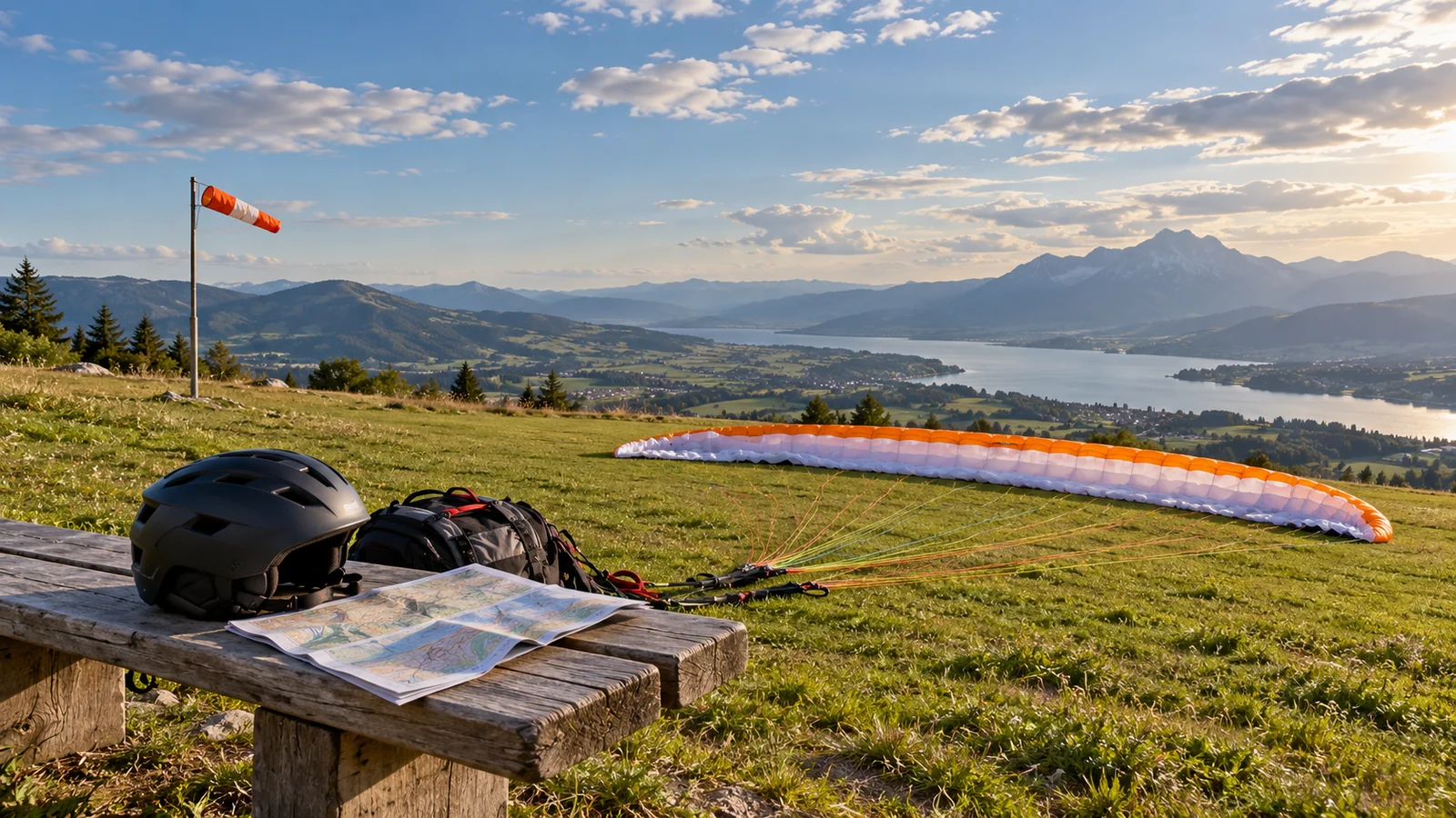
The cover shows planning equipment and an unlaunched wing. It does not identify an approved launch direction, a safe windsock position or a particular site’s operating limits.
Read cloud and weather development as a trend
Include visibility, precipitation, cloud development and any thunderstorm or strong-weather warnings in the discussion. Calm-looking air at the start is not a guarantee of calm air for the rest of the day. The plan has to account for the expected development as well as the present observation.
Thermal activity is also not just a benefit that produces lift. It interacts with the pilot’s experience, flight task and surrounding conditions. Do not treat a stronger-lift forecast as permission to attempt a more demanding flight.
If the group cannot explain an important weather feature or a warning, that gap should be resolved through suitable training or qualified guidance. A launch made by another pilot is an observation of their decision, not evidence that the conditions fit your own level.
Include the landing and the route back
A briefing confined to the launch omits the area where the flight ends. Discuss the planned landing area, local restrictions, access and the possibility that conditions differ there. The flight task and the pilot’s competence must fit the complete plan, not only the first few moments.
A short flight, a longer soaring session and a cross-country objective ask different questions about time, terrain and options. Do not let a successful earlier flight justify extending an objective without considering those changes.
Use a briefing note to expose uncertainty
| Topic | Question to resolve |
|---|---|
| Forecast coverage | Does the location, height and validity fit the proposed plan? |
| Wind | What are the direction, variability and expected trend? |
| Terrain | What local airflow limitations does the club or instructor identify? |
| Weather development | What could change before landing? |
| Pilot and equipment | Is the task within current training, equipment limits and site rules? |
| Alternatives | What is the plan if observations do not match the forecast? |
This is not a complete pre-flight checklist and does not prescribe a launch decision. Its benefit is keeping uncertainties visible rather than averaging them into a reassuring score.
Example: why two forecast screenshots may disagree
Imagine one screenshot showing a valley observation now, while another shows a ridge forecast for later. Their different values do not yet demonstrate which is wrong: location, height, observation versus prediction and valid time all differ. First align those labels before trying to compare the numbers.
A second apparent disagreement can come from comparing mean wind in one product with a gust value in another. Keep both values and the written trend rather than selecting whichever number feels more reassuring. A forecast table is not made more representative by dropping an inconvenient column.
This is an information-reading example, not a launch assessment. The Met Office’s mountain guidance explains the relevance of elevation and narrative detail. 3 Aviation products, airspace information and the site’s operating requirements remain separate parts of the briefing.
A useful note also records what local questions remain unresolved: whether the landing experiences different flow, what directions the club considers and what changes are expected before the flight ends. If the information cannot be interpreted at your current training level, seek the appropriate instruction or choose another objective. The thermal explanation distinguishes rising air from performance; the paramotor article explains why propulsion does not remove weather responsibilities.
Get the local briefing before an unfamiliar site
BHPA’s visiting-pilot guidance highlights local club contact and site rules. Those rules help protect both pilots and continued access, and can contain requirements that a general forecast app cannot display. 2
Follow the applicable qualification, insurance, airspace and site-access requirements. If an instructor or local briefing cannot be obtained when needed, a different objective or a day on the ground is a valid outcome. Forecast interpretation is part of airmanship, not an exercise in finding the most optimistic app.
A wind figure and a GPS speed use different references. The airspeed and groundspeed diagrams work through wind-vector examples so a ground track is not mistaken for motion relative to the air.
Reader questions
Is there one safe wind speed for paragliding?
No single number applies to every pilot, wing or site. Gusts, direction, terrain, current skills, equipment limits and local rules matter together. Use the actual training and site context rather than transferring a preferred wind number from another person.
Why can launch conditions differ from the landing area?
Forecast coverage and observations are tied to place, height and time, while terrain can alter local airflow. A windsock at launch does not describe the whole route or landing. Obtain the relevant local briefing and consider the complete flight plan.
Sources and scope
Each reference supports the topic stated in its scope note. Worked examples are illustrative unless identified as measured results. Use current local information and the manual for your own equipment alongside appropriate practical instruction.
- BHPA: Pilot SyllabusWeather, flight theory, airmanship and air-law subjects in pilot education.
- BHPA: guidance for visiting pilotsLocal club briefings, site rules and visiting-pilot responsibilities.
- Met Office: mountain forecast guideAltitude-specific wind, gusts, visibility and the limits of area weather summaries.
Continue reading
- Paragliding Airspeed vs Groundspeed: How Wind Adds
Compare paragliding airspeed and groundspeed with headwind, tailwind and crosswind examples. Learn how velocity vectors differ from a GPS speed reading.
- Paragliding Thermals: Rising Air, Sink Rate and Climb
Understand how thermals let paragliders climb while descending through the airmass. Compare air-relative sink, ground-relative climb and weather context.
- Speedflying vs Speedriding: Wings, Loading and Terrain
Compare speedflying and ski-based speedriding. Understand wing loading, model-specific design and why speed changes decision time near terrain.
- Paramotoring Explained: Thrust, Lift and Wing Matching
Understand how a paramotor adds thrust to a paraglider. Check all-up weight, powered-use approval, component matching and the operating context.